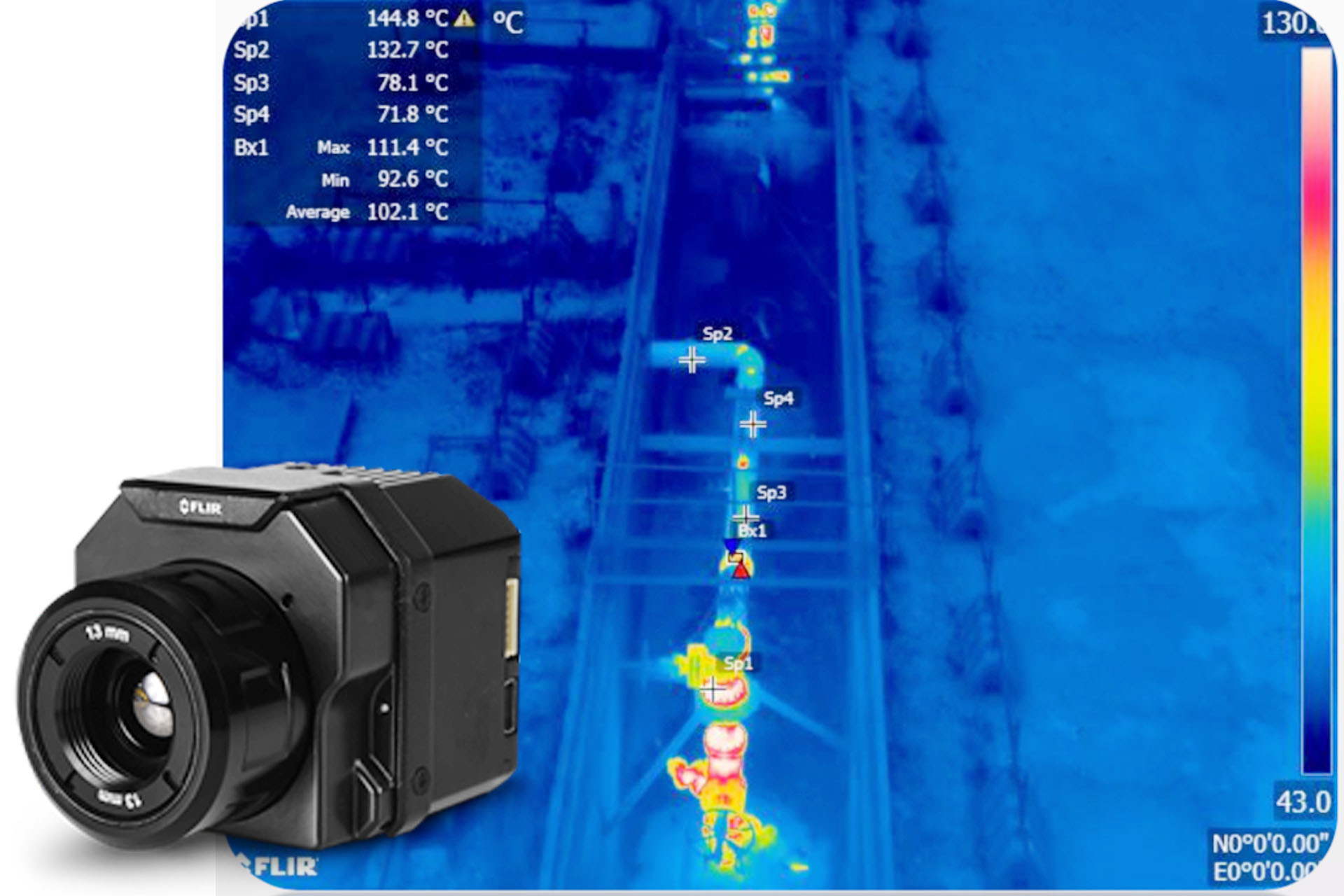
FLIR SUAS Thermal Cameras
The Vue Pro R give drone operators and certified thermographers the power to gather accurate, non-contact temperature measurements from an aerial perspective. Every still image the Vue Pro R contains accurate, calibrated temperature data embedded in every pixel, adding even more value to your sUAS operations and services than ever. Vue Pro R adds fully radiometric data- gathering to sUAS applications like building and roof inspections, power grid inspections, infrastructure analysis, precision agriculture, and public safety.
MICASENSE Agricultural Cameras
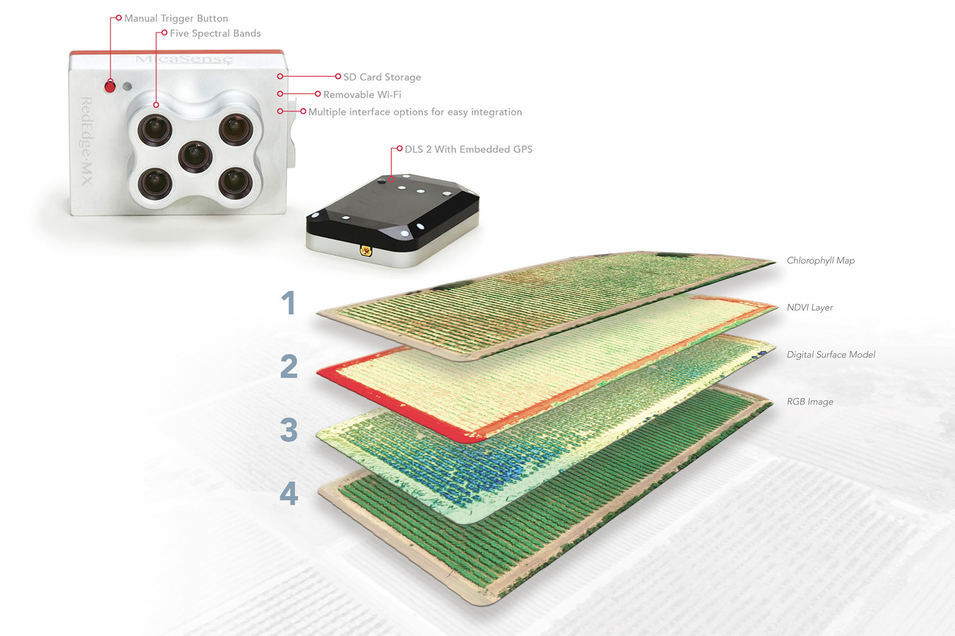
- Five narrow spectral bands captured during flight
- High image resolution; 8 cm/pixel at 400 ft (120 m)
- Single SD card stores all images with geotags
- Standalone operation, with optional external trigger and data from host aircraft
- Intuitive web-based interface accessed from any Wi-Fi–capable device
- Embedded mounting points for easier integration
- Global shutter imagers - no gimbal required
- Camera kit includes DLS and Calibration Panel
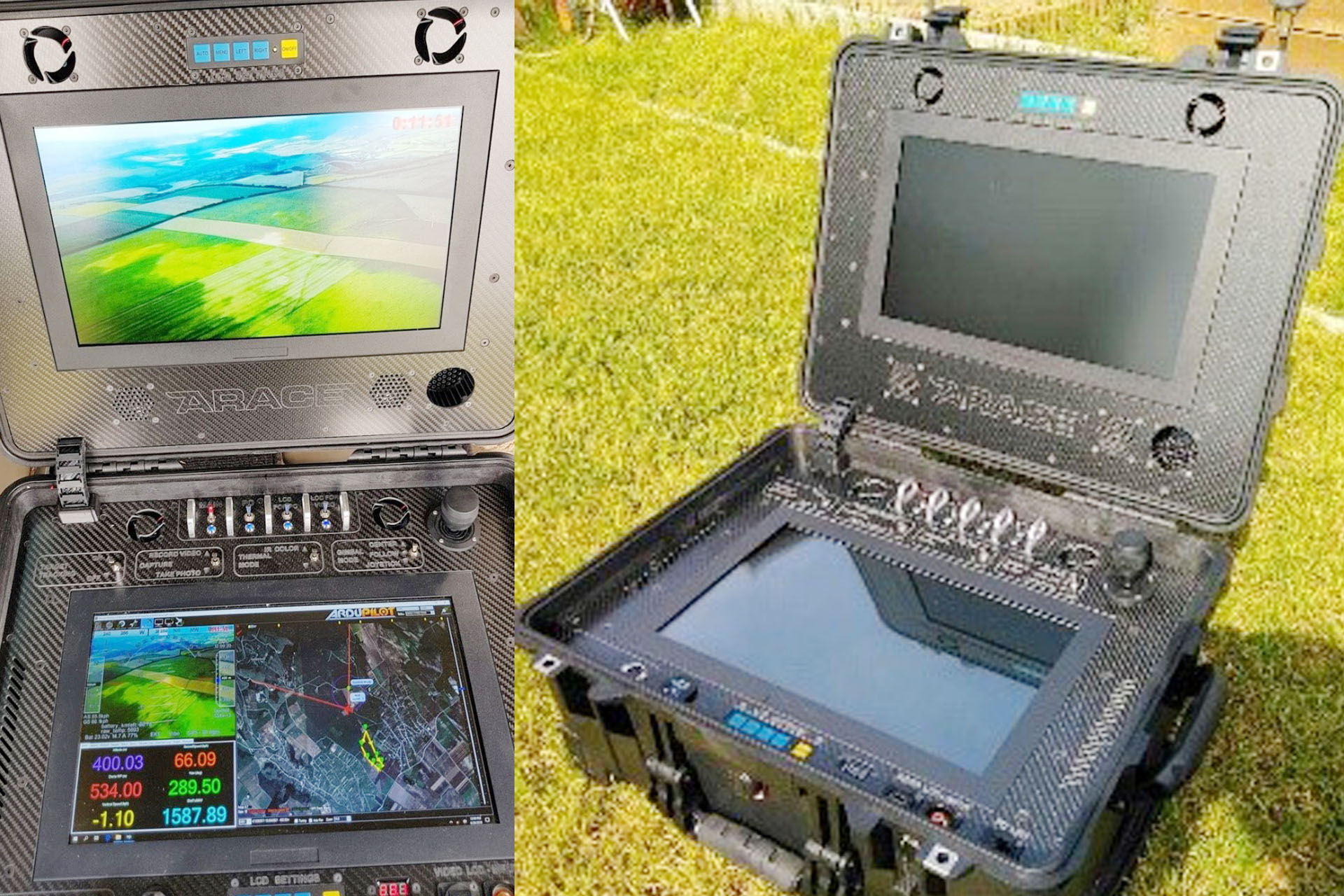
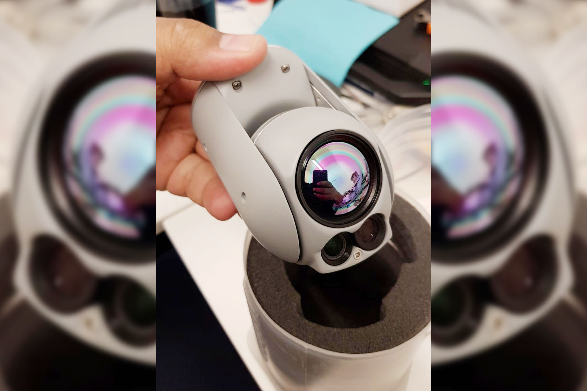
Single or Dual Sensor Gimbals
From simple gimbal stabilized 10x cameras to Mil Spec single or dual sensor gimbals for up to 30x zoom with target tracking and geo location.
We can build based on your required output and within your budget
Trackimo 3G or 2G Drone Tracker
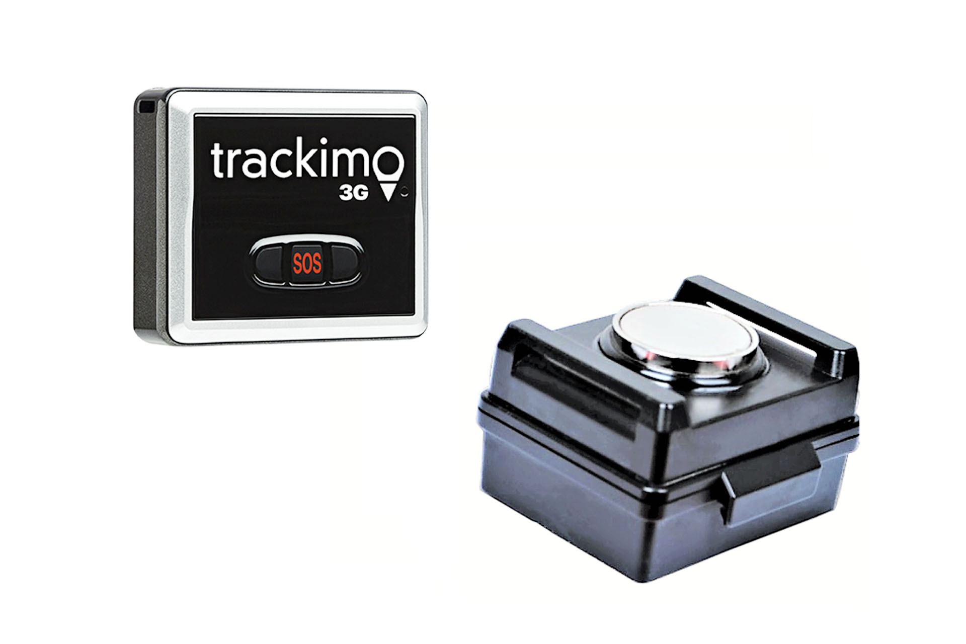
Only $5 per month after the first 12 month service period is over. Trackimo offers the lowest monthly service cost of any consumer tracking device worldwide. No roaming fees.
Worldwide Coverage - Trackimo device can be tracked via web or smartphone app anywhere GSM cellular reception exists worldwide
SOS Button - With one press of the SOS button, the location can be broadcast via app notification, email, or text
Real Time Tracking - GPS and GSM provide instant, highly accurate current location and one year of history
Smart Alerts - User alerts via text, email, and app notifications for location change, customized speed thresholds, and sudden movement or impact. (Text messages are limited to 10 messages per month)
Free Android and iPhone APPS
Full customer service and phone support by dedicated experts.
*The monthly service pays for the worldwide SIM card using the GSM network to report the real time positioning of the device (just like AT&T etc. has monthly fee).
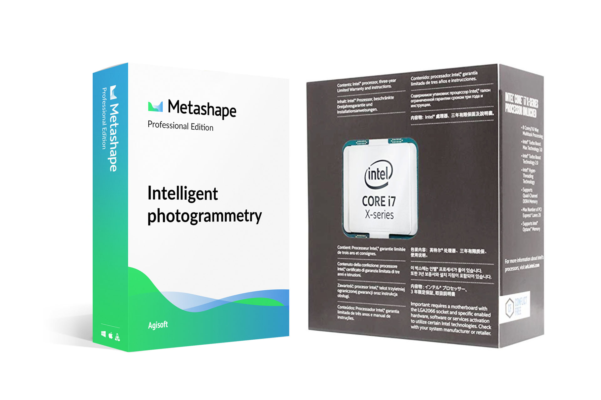
Agisoft Metashape and DUAS Signature GIS Workstation
Agisoft Metashape is a stand- alone software product that performs photogrammetric processing of digital images and generates 3D spatial data to be used in GIS applications, cultural heritage documentation, and visual effects production as well as for indirect measurements of objects of various scales.
Combined with our Liquid cooled 8-Core, Dual GPU solution; processing 1000 hectares a day is a piece of cake!
Services and Support
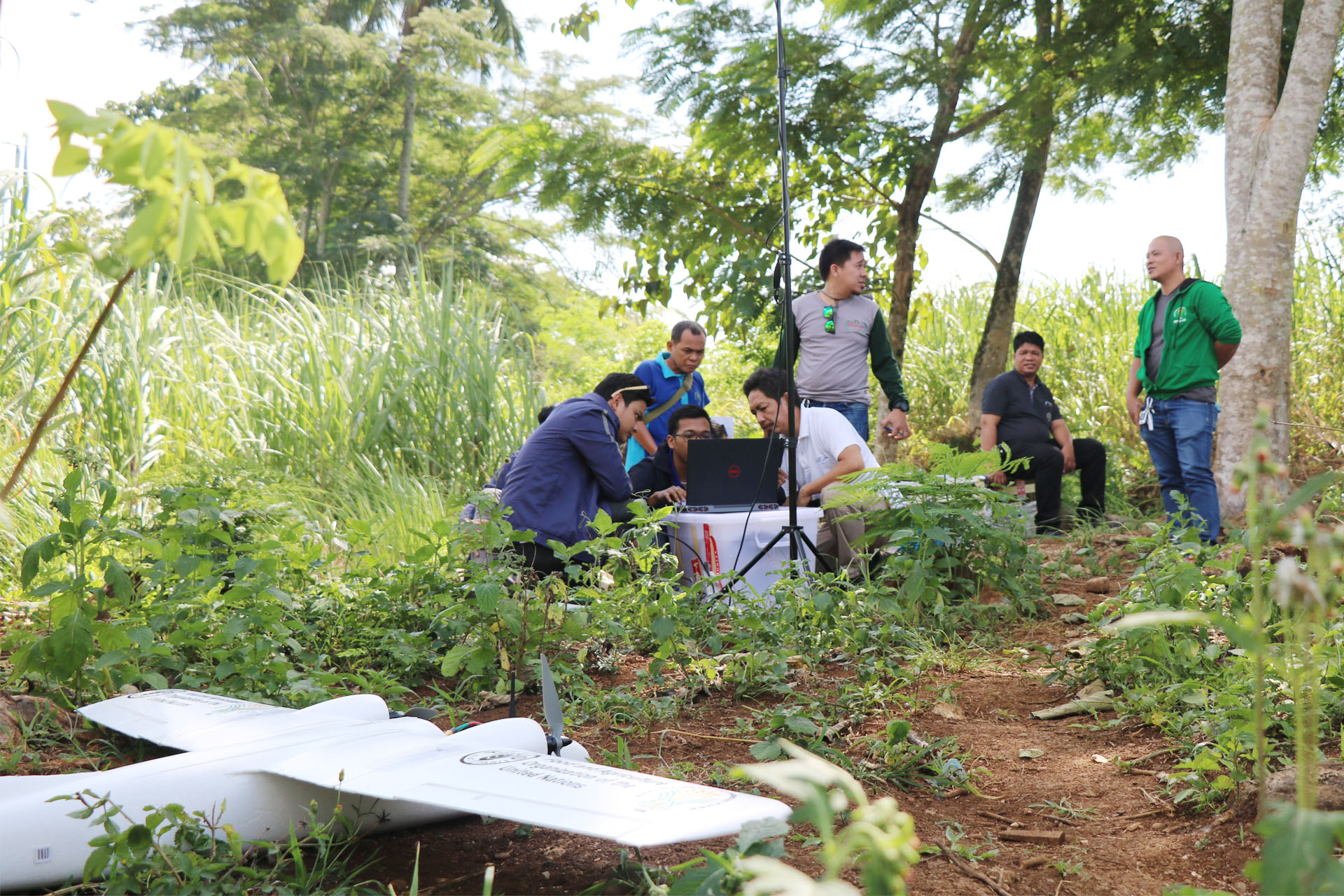
No experience on drones? Not a problem! Regardless if we supplied your equipment or you got it elsewhere, we are committed to making sure your investments work for you!