From ZERO to Drone HEROES!
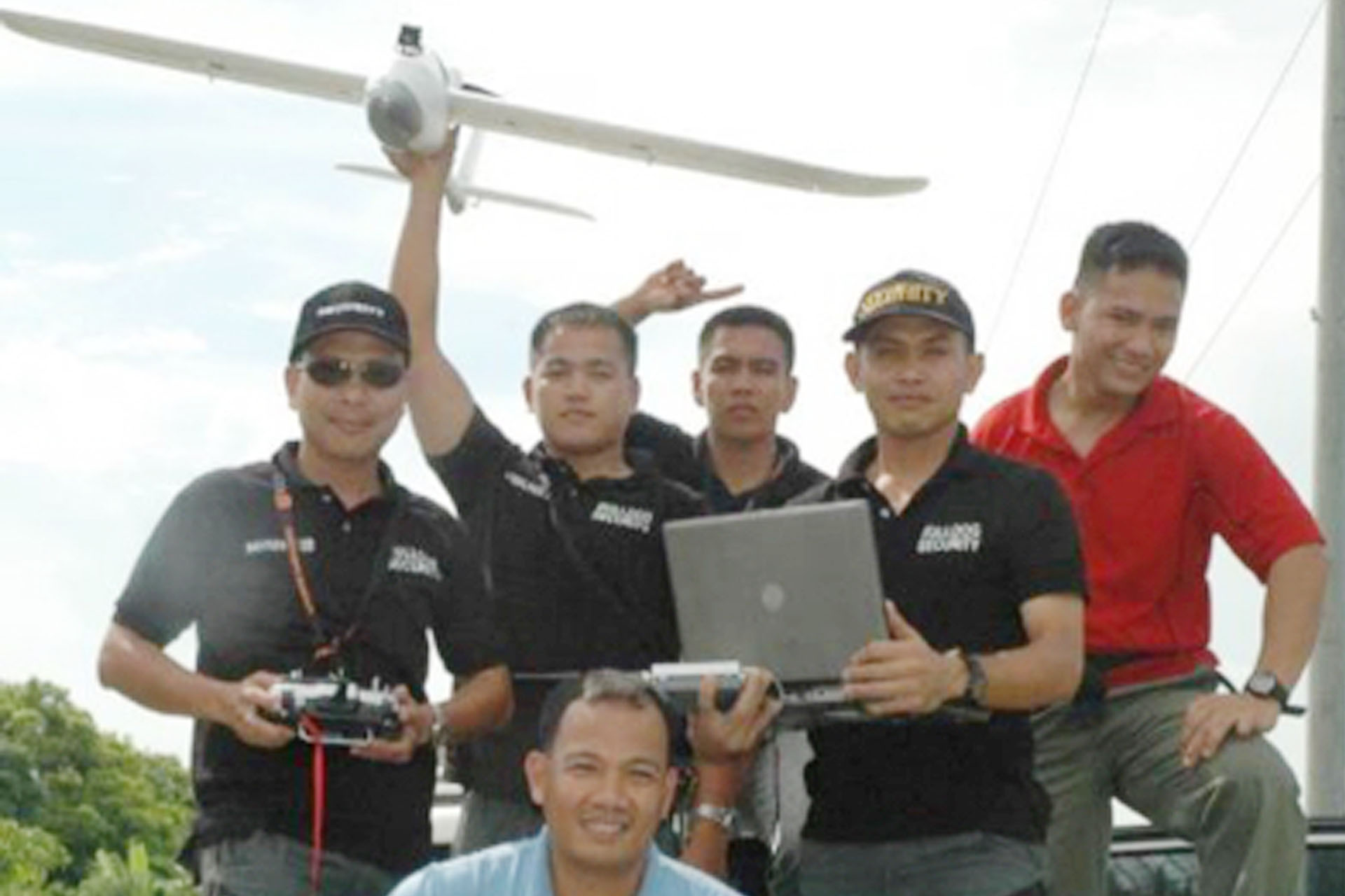
In cooperation with IRRI security, Davao UAS trained personnel with no experience in airplanes or drones and successfully transformed them to one of the most organized drone teams in the country today!
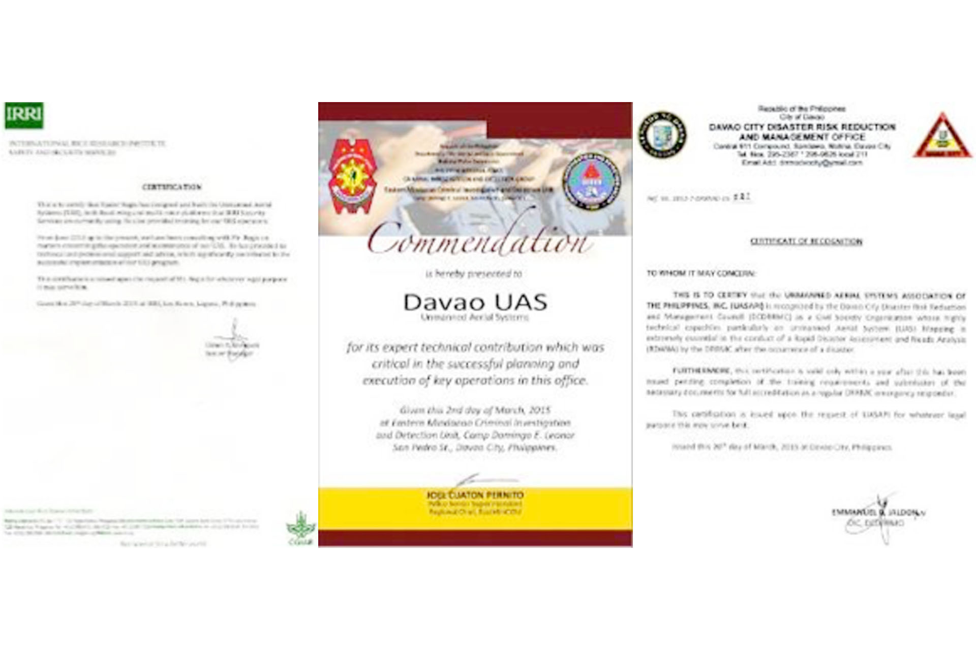
We have served various clients in Agriculture, Security, News and Public Affairs, LGU, Real Estate, Resorts, as well as Military & Police, among others.
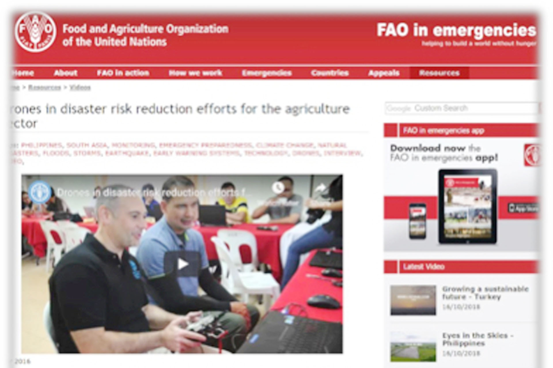
Supplied and Trained the UN-FAO, the Department of Agriculture (DA), and the Department of Environment and Natural Resources (DENR)
Near Real Time (NRT) UAS
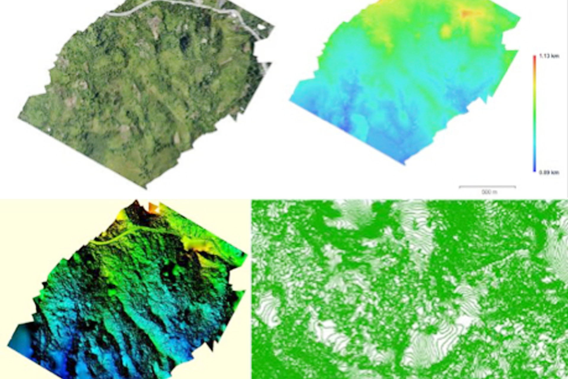
Other Usable Data sets
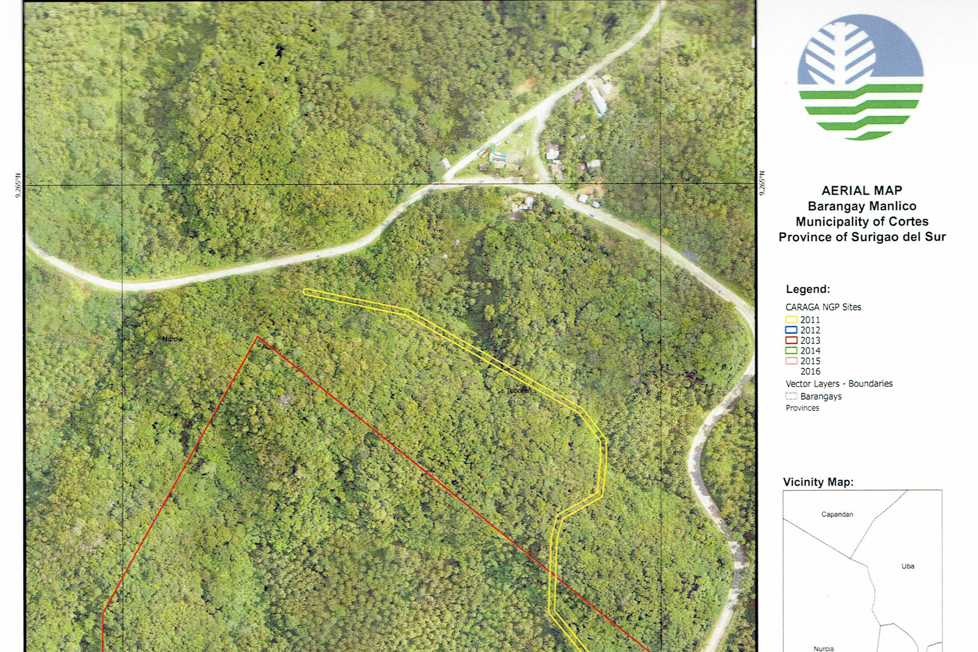
Large Scale Map Printout with Grid Lines
System Features and Output

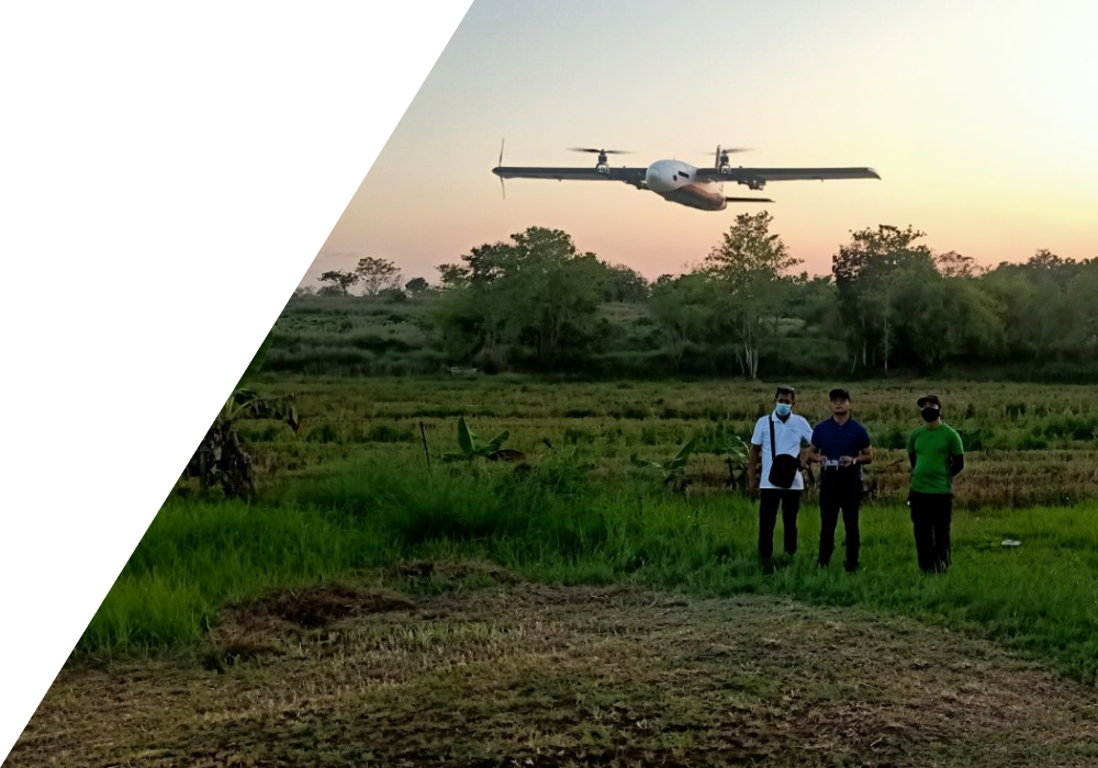
Long Range (25km) & High Endurance
(20-120+ mins) Electric powered UAV

Real Time RGB Video Image

Real Time Thermal Imaging using FLIR

Images can be seen on the ground using our portable viewer

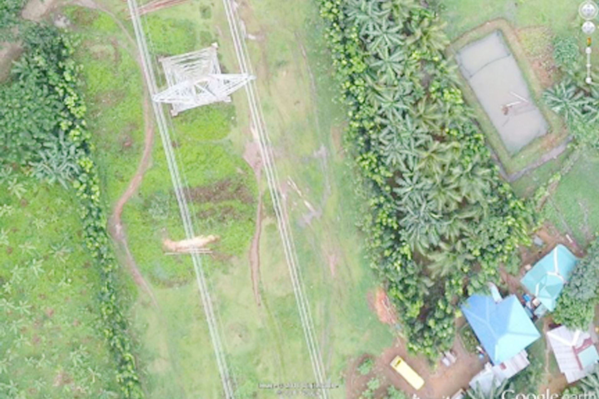
High Resolution Aerial Photography geo-referenced into <10cm/pixel orthophoto for same day assessment and GIS integration

Multi-Spectral imagery for agricultural analysis and plant health